
Loading...
Butler Maps Inc | SKU:
Sold out
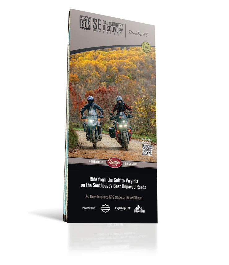
Butler Maps | Southeast Backcountry Discovery Route Map (SEBDR)
Butler Maps | Southeast Backcountry Discovery Route Map (SEBDR) is backordered and will ship as soon as it is back in stock.
$21.95
Unit price
/
Unavailable
Shipping calculated at checkout.
Couldn't load pickup availability
Rider Tested - Rider Approved
Rider Tested - Rider Approved
We only stock gear that has been tested and proven by riders to handle any adventure.
60 Day Returns + Free Exchanges
60 Day Returns + Free Exchanges
You have 60 days to process your return or exchange.
Free return shipping for exchanges if you need a different size.
Description
Description
Butler Maps | Southeast Backcountry Discovery Route Map (SEBDR)
The Southeast Backcountry Discovery Route (SEBDR) is the 14th addition to the BDR series, offering an unparalleled 1,300-mile adventure through the stunningly diverse terrain of the southeastern United States. Beginning at the Gulf of Mexico in Florida, this route traverses the Florida Panhandle, crosses into the heart of the Appalachian Mountains, and winds its way through Alabama, North Georgia, Tennessee, and North Carolina, before reaching its northern terminus in Damascus, Virginia. This final stop connects directly to the Mid-Atlantic BDR (MABDR), making it a seamless gateway to even longer adventures.
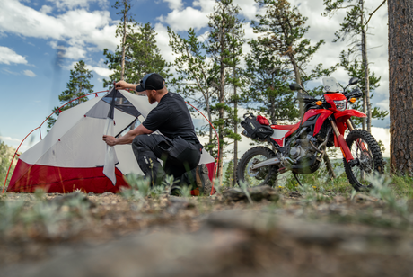
This landmark route completes the East Coast Trilogy, uniting the NEBDR, MABDR, and SEBDR into a continuous pathway stretching from the Gulf of Mexico to the Canadian border—an unprecedented achievement in backcountry adventure riding. Along the way, riders will tackle a thrilling mix of graded dirt roads, rugged two-track, remote forest paths, twisty backcountry pavement, and water crossings, all while soaking in breathtaking scenery, historic sites, and untouched wilderness. Expect to pass through towering hardwood forests, rolling foothills, remote river valleys, and the high ridgelines of the Appalachians, with plenty of camping, small-town charm, and opportunities to explore off-the-bike.
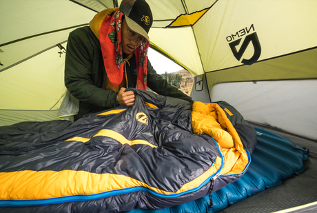
Every BDR map is designed to be an indispensable tool for backcountry navigation, featuring detailed inset boxes that highlight essential route amenities such as fuel stops (both on-route and nearby), lodging options including campgrounds, food and markets for provisions, town and pass elevations, trailheads, scenic overlooks, and interpretive trails. A master elevation profile, along with contour intervals, provides insight into the route’s terrain and elevation changes, helping riders strategically plan their journey. Each map is printed on HopSyn waterproof, tear-resistant "Trail Tough" paper, making it durable enough to withstand the toughest backcountry conditions while ensuring reliable navigation throughout the adventure.
Map Features
- Highlights a single BDR route | Includes route planning and permit information (when applicable).
- Waterproof / Tear Resistant | The road can be tough on your gear. Our maps are designed to withstand abuse.
- Packs Easily | This map folds to 4.25” x 9”.
- Detailed Information | Includes written descriptions, section breakdowns with mileage, and elevation profiles.
Comparison Chart
Comparison Chart
Why Us?
Why Us?
Why Choose Moto Camp Nerd?
✅Our team personally tests every item (20+ years moto camping experience)
✅Pack sizes verified to fit motorcycle luggage systems
✅Direct access to real riders who camp for advice and support
✅Only gear that passes real-world testing gets in this store
❌ No generic outdoor gear that's
algorithm-chosen or just thrown in the store without reason.
Bottom line: You're supporting a small business with fellow riders and campers, not just buying a product.
Payment & Security
Payment methods
Your payment information is processed securely. We do not store credit card details nor have access to your credit card information.